Serranía de Chiribiquete Natural National Park
Description of the Area
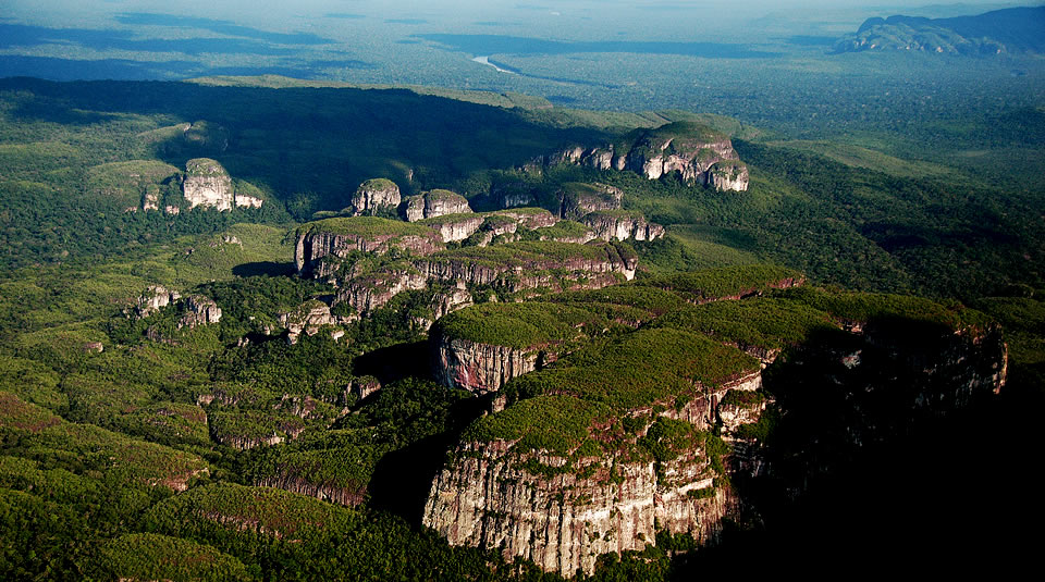
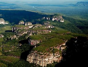
The "Serranía del Chiribiquete" is a dense rock formations from the Precambric and Paleozoic ages and they are part of the "Guayanés" shield. This rocks in "Serranía de Chiribiquete" offer to the tourist a stunning view.
The "Serranía de Chiribiquete" was the traditional territory of the aboriginal ethnic group known as "Karijona" who possessed remarkable costumes, for example they wore tight girdles around their chest and hips. This clothes were made of natural fibers and decorated with bright colors. Also these people wore long hair and ocassionally wigs made of natural black fibers. Around the park the paintings representing this culture can be seen. The landscape with savannahs and mountains make a wonderful natural scene.
Location
This place is located between the Departments of Caquetá and Guaviare, in the jurisdiction of the towns San Vicente de el Caguán (in Caquetá) and Puerto Solano (in Guaviare).
"Photographs: parquesnacionales.gov.co"
"Source: parquesnacionales.gov.co"