San José del Fragua
- Demonym: Fragüense; Fragueño, -a
- Total extension: 1228.67 Km2
- Urban extension: 216 Km2
- Rural extension: 1012.67 Km2
- Altitude: 540 MASL
- Average temperature: 80,6 Fº
- Inhabitants: 21,512 inhabitants
- Date of Foundation: October 8, 1959
- Reference distance: 58,4 Km to Florencia
San José del Fragua is a municipality located in the department of Caquetá in the south of Colombia. The town of San José del Fragua was founded on October 8, 1959 and in 1961 was created as a police inspection belonging to the municipality of Belén de los Andaquíes . The name of the town was apparently a tribute of its founders to the efforts of Father Joseph Fusarrolly. By Ordinance 03 of November 12, 1985 was elevated to Category of municipality. Its primitive settlers were those belonging to the indigenous Inga tribe. Of these, many mestizos, direct descendants and a small number of pure representatives are found in the region, which have been established in the margins of the rivers Fragua Grande and Yurayaco.
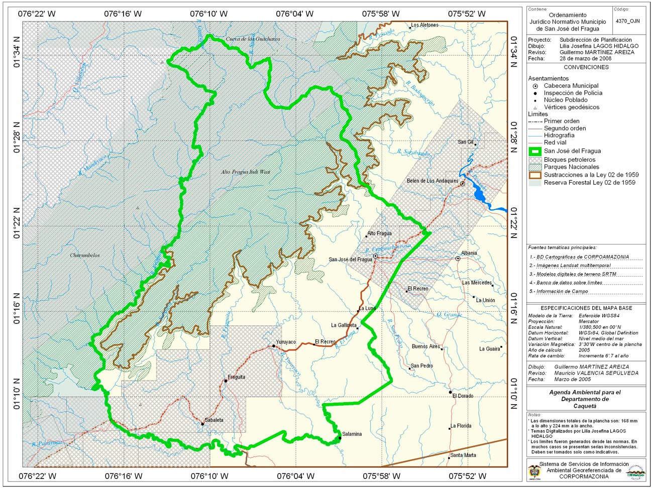
The municipality of San José del Fragua has the following General limits:
- To the North with the Department of Huila and the municipality of Belen de los Andaquies.
- To the South with the Department of Cauca.
- To the West with the Department of Cauca.
- To the East with the municipalities of Albania and Currillo
Ecology
Environmental and biodiversity
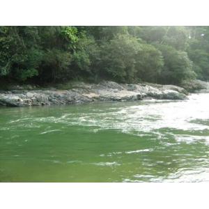
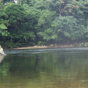
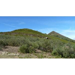
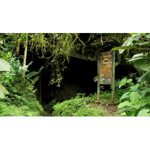
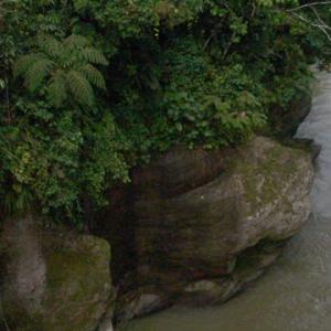
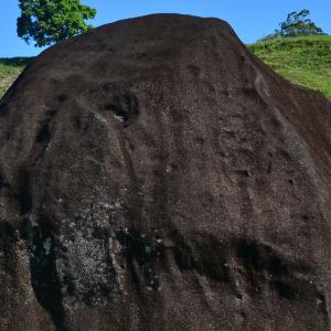
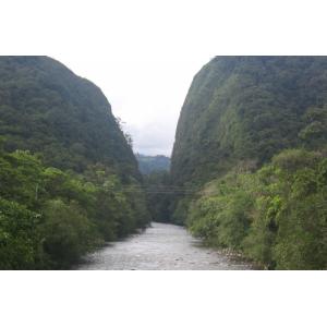
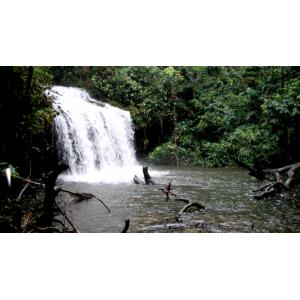
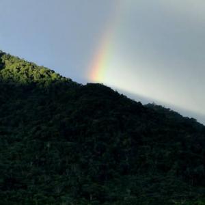
The natural environment of the municipality conforms it in its interaction with human societies that settle on it, and is expressed in natural heritage. In the case of San José de el Fragua, make it up high biodiversity areas such as NNP high Fragua Indi Wasi, the Serranía de los Churumbelos PNN and the PNN Cave of the guacharos, water potential of the basins of the rivers forge Chorroso, San Pedro, Luna, Yurayaco, Fraguita, Sabaleta, and large forge.
San José de el Fragua coincides geographically with one of the 13 shelters Pleistocene of South America, it is an important center of origin of mega diversity and biological endemism.
Means of Transport
By land
166 kilometers long, consists of the road mesh of the municipality, of primary, secondary and tertiary order, which communicate the urban area of the town with neighbouring municipalities, inspections, sidewalks and indigenous resguardos. Table No.8. Presents the detailed relationship of road connectivity.
It should be noted that the distance of the municipality with the capital of the Department is 58 kilometers in length. Land.
By river
The Rio Grande forge is an artery of fluvial communication of the municipality, allowing navigation of settlers from the beautiful port inspection bridge up to the mouth, in the Rio Caquetá.