Solano
Date of Foundation: January 12, 1936
Name of the / the founder (s): General José Domingo solano.
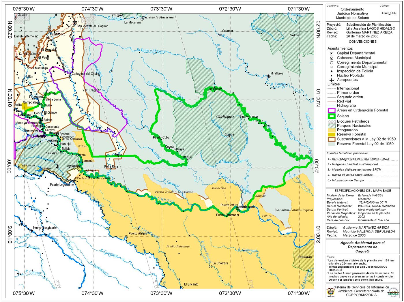
The municipality of Solano is one of the lesser number of inhabitants per Km2 the town limits:
Its strategic location puts you in geographical contact with the departments of Vaupes, Guaviare, Amazonas and Putumayo.
- Total length: 42.391 km2 Km2
- Altitude of the municipal head (meters above the sea level): 203
- Average temperature: 27 ° C ° C
- Reference distance: far from Florence 170 km
Ecology:
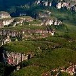
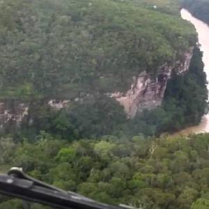
Due to its location, the natural wealth of Solano has no comparison in the Department, we can name how special the "Serranía de Chiribiquete" and "jets Araracuara", whose momentum does not allow browsing but produced a majestic landscape. The Chiribiquete National Park is the largest reserve in its genre; Finally is another natural beauty of the region "Paddocks", rich in crystal-clear lagoon, flora and fishing. PronunciarSeleccionar opciones de vozEnviar esta traducción por correo electrónicoBuscar esta traducción con BingEs una traducción adecuadaEsta es una mala traducción.
"Photographs: icdtcaqueta.gov.co"
"Quote: solano-caqueta.gov.co"