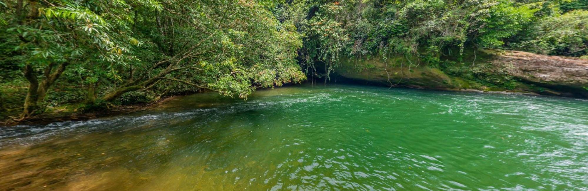
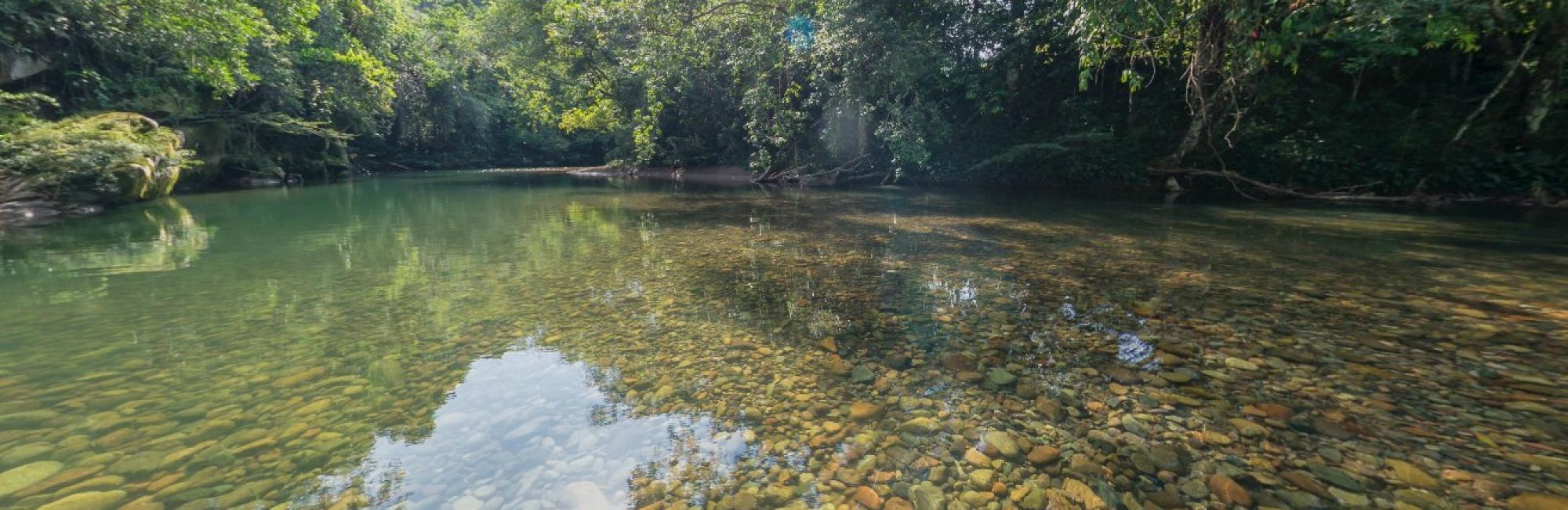
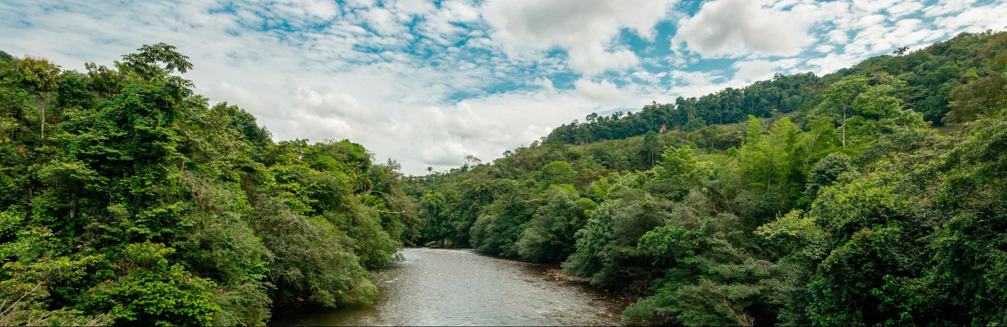
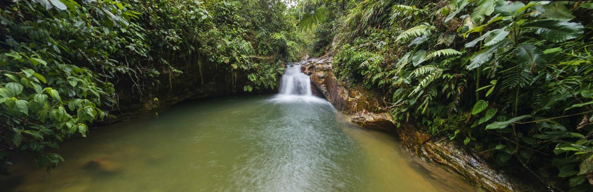

Hydrography
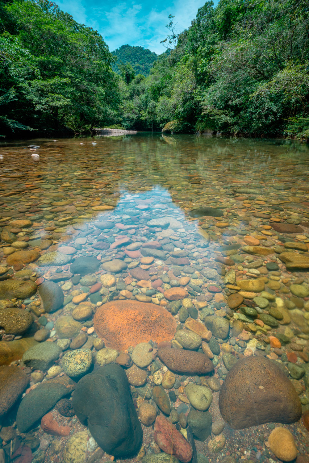
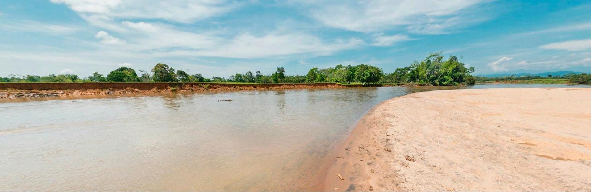
El departamento del Caquetá por su estratégica ubicación geográfica a lo largo del piedemonte amazónico representa una de las mayores riquezas hidricas para el país (bosques de niebla, esponjas de agua, ríos, humedales, cuencas, entre otros).
Las principales fuentes hídricas del departamento, son los ríos con sus afluentes el Orteguaza (110 kilómetros), el Fragua Chorroso, Fragua Grande, Caguán (250 kilómetros), Guayas, Yarí, Pescado y el Apaporis. El río Caquetá tiene cerca de 2.200 kilómetros de longitud de los cuales 1.200 kilómetros transcurren por territorio Colombiano, participa de esta zona la extensión que abarca desde la desembocadura del río Fragua Grande, en limite son el departamento del Cauca, hasta la desembocadura del río Caguán, en el extremo oriental en una longitud aproximada de 400 kilómetros de su curso. Este río constituye uno de los afluentes fluviales más importante no solo del departamento sino también del país. Todos estos ríos y algunos de sus afluentes, forman un extenso sistema de transporte fluvial.