Curillo

- Demonym: Curillense
- Name: Curillo
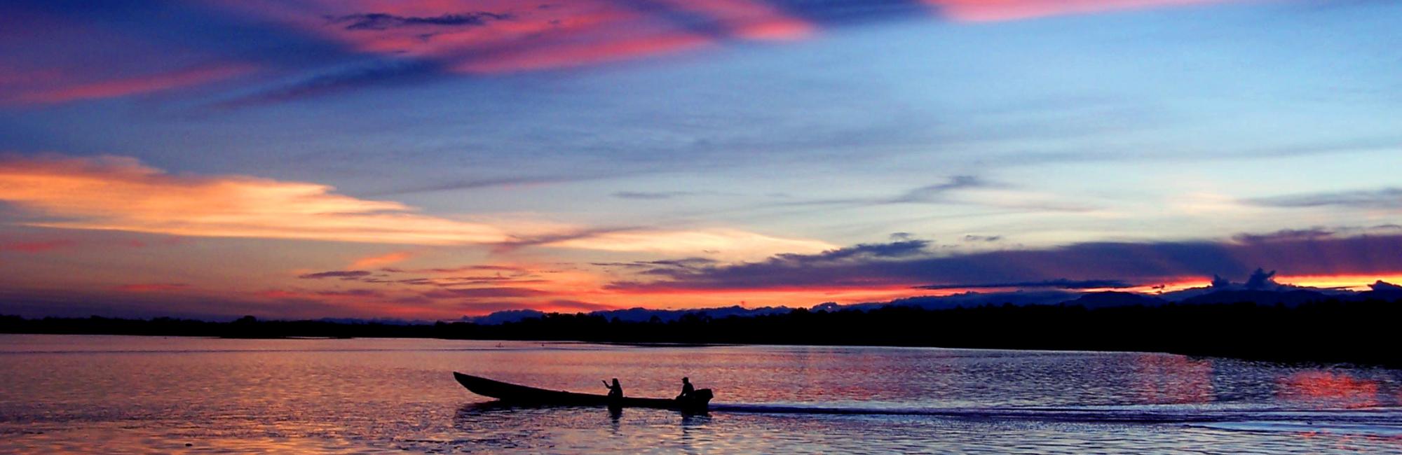
- Other names: The municipality of beautiful sunsets
- Date of Foundation: 1965
- Founders: settlers
- Municipality from: 12 November 1985
- Average height: 230 m
- Average temperature: 82,4 F°
- Extension: 445 km2
- Population: 10,000 (projection DANE 2005-2008)
- Distance from Florence: 114 km road in good condition
Trade in food, groceries, clothing and home appliances is an important line of the municipality's economy, furthermore, livestock business is considered the main form of economy allowing dynamic in regional development. The main crops are bananas, cassava and maize together with others that are planted on a smaller scale. Activities such as fishing and mining and timber trade must be checked by the environmental authority in order to prevent the deterioration of the resource.
Geography:
Limits of the municipality: San José del Fragua, Albania, Valparaiso, Solita, municipality of Puerto Guzman Putumayo, municipality of Piamonte, Cauca.
Accommodation
The Curillo municipality has not a big variety of places to stay, however a couples of "posada" or "residencias" can be found. Being a small municipality, most of the people who visit the town stay in houses of relatives or friends. Some of the places where you can get relaxed if you are not exploring the town anymore are located inside the municipality.
Means of transport:
By Land:
Curillo-Florence (paved-road) Curillo-Valparaiso
Rivers:
Caquetá river, Yurayaco River, and Fraguita River